


Voting District 20190, Kings County, California
About
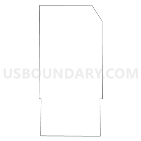
Outline
Summary
| Unique Area Identifier | 532204 |
| Name | Voting District 20190 |
| County | Kings County |
| State | California |
| Area (square miles) | 2.09 |
| Land Area (square miles) | 2.09 |
| Water Area (square miles) | 0.00 |
| % of Land Area | 100.00 |
| % of Water Area | 0.00 |
| Latitude of the Internal Point | 36.05735750 |
| Longtitude of the Internal Point | -119.54543920 |
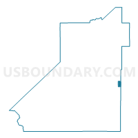
Maps


Graphs
Select a template below for downloading or customizing gragh for Voting District 20190, Kings County, California


Neighbors
Neighoring Voting District (by Name) Neighboring Voting District on the Map
- Voting District 20180, Kings County, CA
- Voting District 20215, Kings County, CA
- Voting District 20385, Kings County, CA
- Voting District 20405, Kings County, CA
- Voting District 20495, Kings County, CA
- Voting District 21970, Tulare County, CA
- Voting District 22060, Tulare County, CA
Top 10 Neighboring County Subdivision (by Population) Neighboring County Subdivision on the Map
- Tulare CCD, Tulare County, CA (68,347)
- Stratford CCD, Kings County, CA (16,634)
- Corcoran CCD, Kings County, CA (13,766)
- Tipton CCD, Tulare County, CA (6,446)
Top 10 Neighboring Place (by Population) Neighboring Place on the Map
Top 10 Neighboring Elementary School District (by Population) Neighboring Elementary School District on the Map
Top 10 Neighboring Secondary School District (by Population) Neighboring Secondary School District on the Map
Top 10 Neighboring Unified School District (by Population) Neighboring Unified School District on the Map
Top 10 Neighboring State Legislative District Lower Chamber (by Population) Neighboring State Legislative District Lower Chamber on the Map
Top 10 Neighboring State Legislative District Upper Chamber (by Population) Neighboring State Legislative District Upper Chamber on the Map
Top 10 Neighboring 111th Congressional District (by Population) Neighboring 111th Congressional District on the Map
Top 10 Neighboring Census Tract (by Population) Neighboring Census Tract on the Map
- Census Tract 16.02, Kings County, CA (12,118)
- Census Tract 32, Tulare County, CA (6,446)
- Census Tract 16.01, Kings County, CA (4,516)
- Census Tract 13, Kings County, CA (3,761)
- Census Tract 31, Tulare County, CA (3,591)